
Climate is defined as a group of average or anticipated values of meteorological elements and phenomena of an area over a given period. It is commonly said that the climate of an area is influenced by the overall climate system consisting of the atmosphere, hydrosphere, cryosphere, soil and biosphere, and that the climate is only an "external" manifestation of complex and non-linear processes within the climate system that have their own dynamics and interaction.
For centuries, the climate has affected all aspects of human life. Unfortunately, human activity affects the climate as well, and changes it. By releasing all sorts of substances into the atmosphere, by changing the original landscape, and by constantly pushing the economy forward, over the recent years in particular, human activity changes the climate at an accelerated pace. In other words, we live in the days of climate change.
The climate of an area is evaluated based on data collected over a 30-year period. Following the recommendations of the World Meteorological Organization (WMO), meteorological services periodically issue climate atlases for thirty-year periods, and according to the World Meteorological Organization (WMO), the reference periods for climate atlases are 1931-1960 and 1961-1990.
The Federal Hydrometeorological Institute possesses the Climate Atlas of Bosnia and Herzegovina for the period 1931-1960 which was produced as a part of the Climate Atlas of the SFRY by the Hydrometeorological Institute of Yugoslavia, with participation of the then Republic Hydrometeorological Institute of Bosnia and Herzegovina.
In the period 2015-2017, having recognised the importance of understanding the spatial distribution of climate elements, the Federal Hydrometeorological Institute engaged in developing the Climate Atlas of the Federation of Bosnia and Herzegovina for the 30-year reference period from 1961 to 1990.
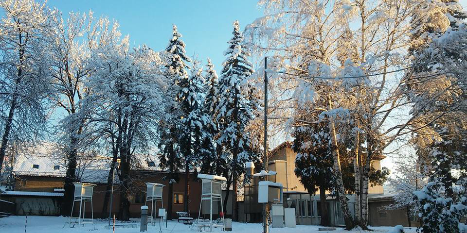
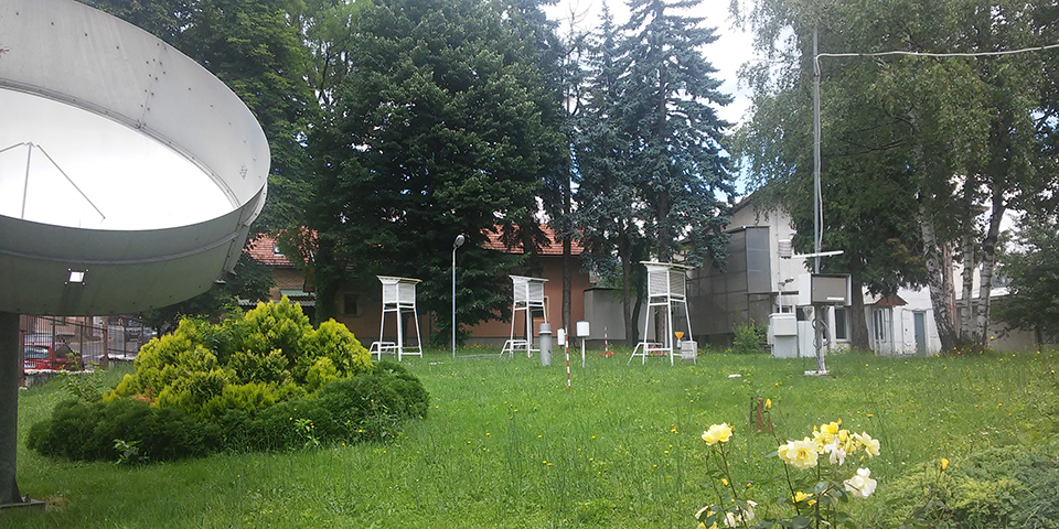
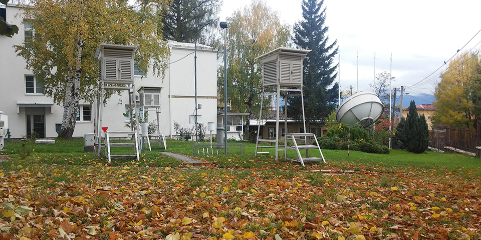
To produce this Atlas, 30-year data sets with the values of basic climate elements obtained from about 130 climatological stations, presented in the form of cartographic, graphic and textual representation of the spatial distribution of the basic climate and agro-climatic elements, have been processed using modern data digitization technology.
The Climate Atlas of the Federation of Bosnia and Herzegovina for the period 1961-1990 includes a section dedicated to Agrometeorology which presents agroclimatic parameters of relevance for agriculture, such as spatial distribution of soil temperature, duration of periods with above-threshold values, and presentation of phenological phases of certain plants of the ‘Forest Trees and Bush’ category. The result of the processing work consists of digital climate maps with spatial presentation of the most important agroclimatic and climate elements for the period 1961-1990.
The Climate Atlas for the period 1961-1990 is a fundamental contribution to the knowledge of climate characteristics on the territory of the Federation of Bosnia and Herzegovina, and shall serve as a basis for planning of activities in various aspects of the society, for example, climate studies, climate change studies, and applied scientific research in the field of agriculture, forestry, water management, power management, civil engineering, maritime, ground, and air traffic, and tourism.
We are proud to mention that the Climate Atlas 1961–1990 was entirely produced by the staff of the Federal Hydrometeorological Institute of BiH. The “Improving the Climate Resilience of Bosnia - Herzegovina’s Road Network” project, funded by the European Bank for Reconstruction and Development, implemented by the Swedish Road Administration and the Public Road Company ‘Ceste Federacije BIH’, provided the funds for reviewing and building of a website for the interactive Atlas of the Federation of Bosnia and Herzegovina.